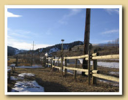
Land Surveying
Property Surveys and Control Networks
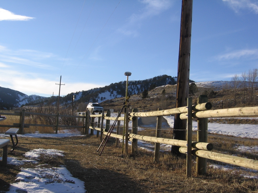
We have performed numerous boundary surveys, certificate of records, and mortgage surveys using GPS and total stations. We have established these corners and property lines with precision and accuracy for horizontal and vertical control. Our projects always begin with establishing a control network to base our projects from and tie into future networks that convert to GIS and numerous coordinated systems for various government agencies and clients.
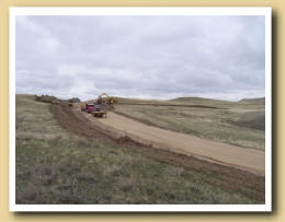
Construction Staking, Topographic Surveys, Gas and Oil Field Well Staking, Pipeline and Utility Surveys
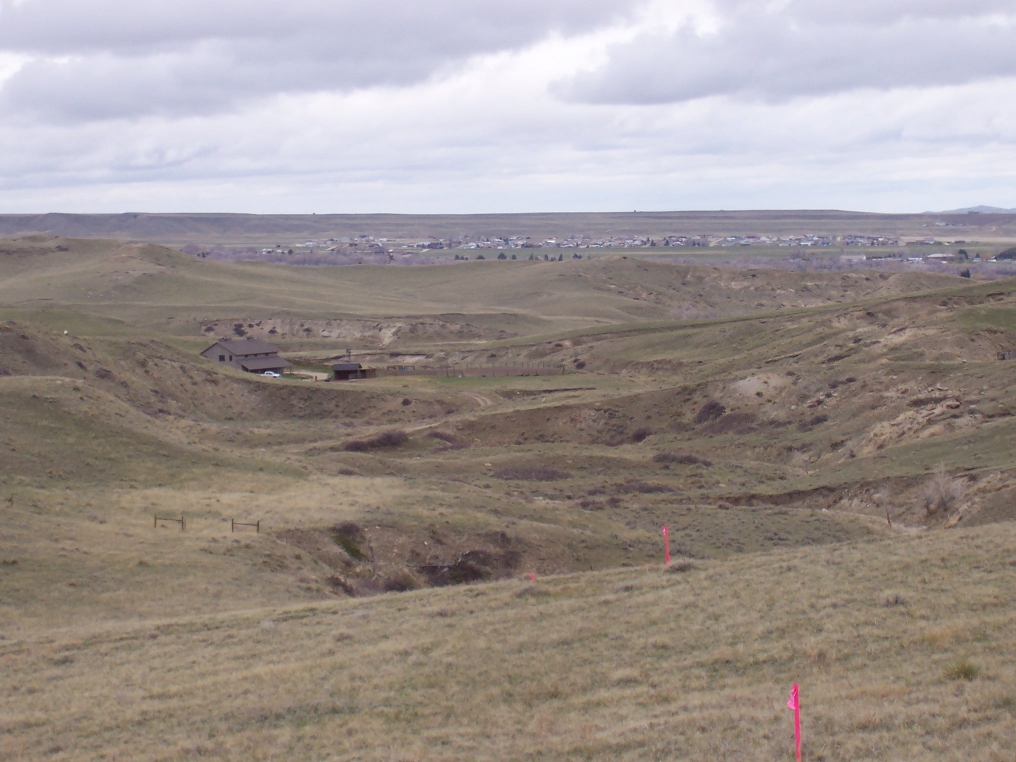
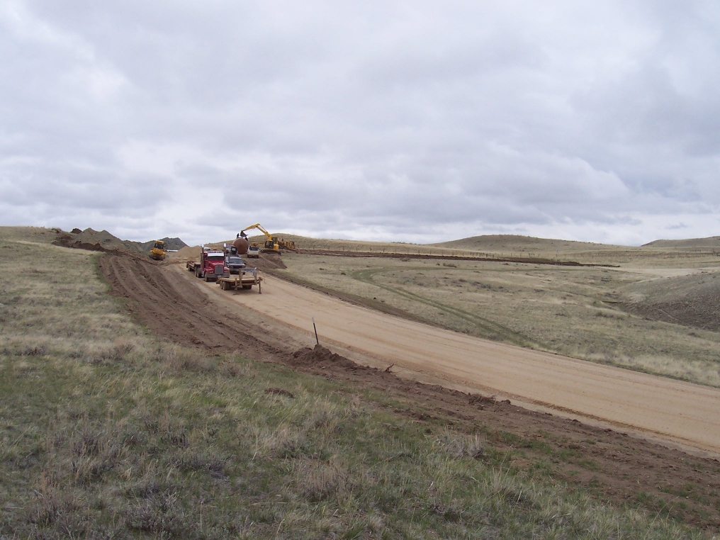
BHSE uses conventional and GPS methods to stake horizontal and vertical alignments, centerline alignments, stake cut and fill diagrams, and slope stake edge of disturbances for construction. We have worked with numerous contractors and can meet their staking requirements. Along with this we have also performed as-built surveys and quantity calculations for contract payments.
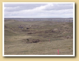
Public Land Survey System (PLSS) Breakdown and Reestablishment of Lost Corners
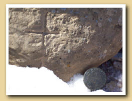
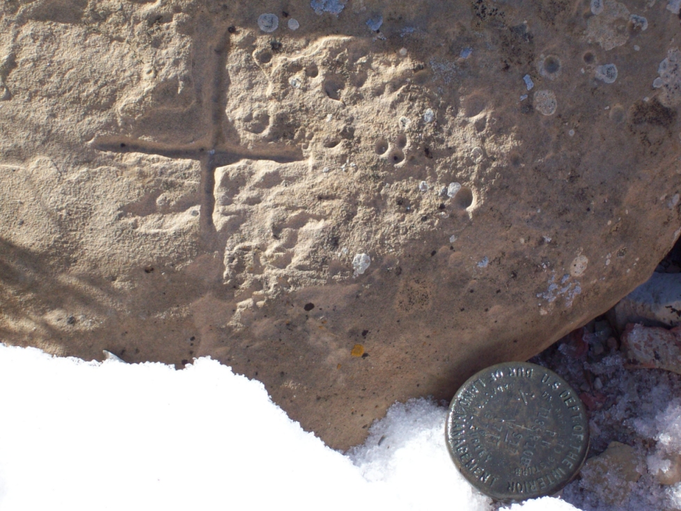
BHSE has researched, retraced, and found many original section corners. We have also reestablished lost and obliterated corners using the standard practices and procedures of the state requirements to monument and perpetuate your bonafide rights.
America Land Title Association (ALTA)

We have completed many ALTA surveys. Using the national ALTA guidelines we have conducted meticulous surveys with specific horizontal and vertical tolerances, research of junior/senior rights, easements, and title commitments. BHSE creates detailed plats for title companies, lending agencies, and client�s needs.
Subdivision Platting and Planning
We have conducted surveys and plats that have been processed through City and County agencies. Working well with government officials, BHSE has pushed through in a timely manner and with efficiency, plats for large and small subdivisions to produce the best product for our clients.
Water Rights Surveys
BHSE has completed water rights surveys and maps to be permitted and approved through the Wyoming State Engineer�s Office (SEO). We have performed water rights permitting in the surface and groundwater divisions, and through the State Board of Control. We can meet your basic needs, from permitting water wells to SW-4 Permits, to your more complicated needs of adjudicating water rights and larger reservoir permitting